Leisurely hiking
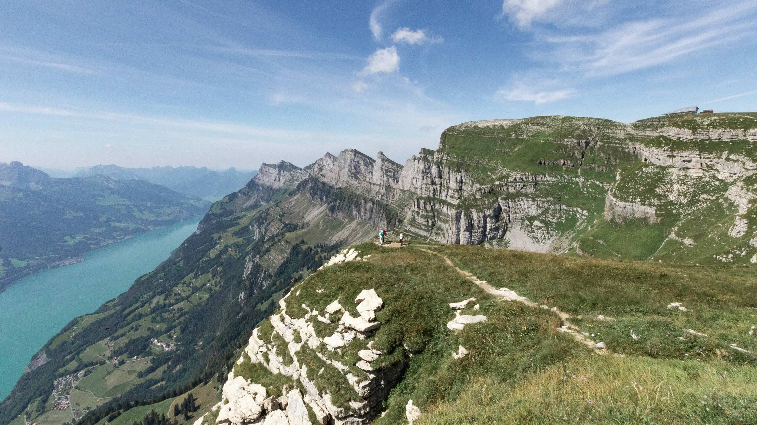
On the Alpine meadows of the Chäserrugg region you can leave the worries of everyday life behind you and relax on leisurely hikes. The trails are easy to follow and offer you a unique panoramic view of the Churfirsten range and the Alpine chain.
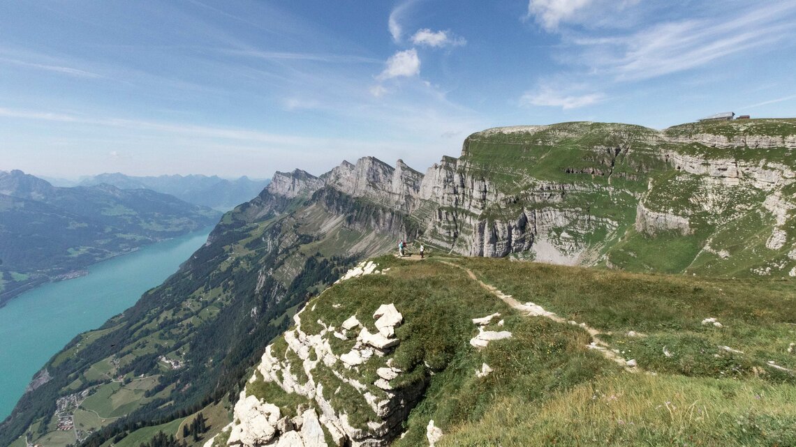
A leisurely circular route takes you once across the entire Rosenboden plateau and offers you fantastic views of more than 500 mountain peaks in six countries along the entire trail. The steep rock faces of the Churfirsten can also be admired on the easy hike and the view extends right down to the Walensee. Along the way several benches invite you to linger and enjoy the view.
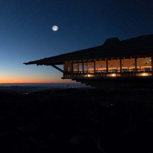
As the Chäserrugg summit restaurant is the starting and finishing point of the hike, the mountain experience can be ideally rounded off with a culinary visit to the cosy indoor restaurant or sheltered terrace.
Facts
| Start | Chäserrugg |
| Destination | Chäserrugg |
| Hiking time | 45 or 120 mins. |
| Length | 3 km total |
| Elevation | 60 m total |
| Difficulty level | easy (T1) |
| Amenities | Chäserrugg Summit Restaurant |
| Highlight | View of over 500 mountain peaks and down to the Walensee |
Price
Chäserrugg Ticket
Ascent and descent from the valley up to Chäserrugg
Adults with Half-fare /GA Travelcard
CHF 31.–
Adults
CHF 62.–
The “Geschenkter Gipfel” (Gift Summit)

Climb the connecting ridge from Chäserrugg to the highest of the seven Churfirsten, the Hinterrugg (2,306 m above sea level). From there you have a unique view of the steep rock faces of the Churfirsten down to the Walensee. You can also explore the summit building by Herzog & de Meuron from a new perspective on the Hinterrugg.
Hikers should be sure-footed when crossing the connecting ridge. In wet weather the stone slabs can be slippery.
Facts
| Start | Chäserrugg |
| Destination | Hinterrugg |
| Hiking time | 20 min |
| Length | 1.5 km |
| Elevation | 44 m |
| Difficulty level | Medium (T2) |
| Amenities | Chäserrugg Summit Restaurant |
| Highlight | View of the Walensee and the Churfirsten mountains |
Price
Chäserrugg Ticket
Ascent and descent from the valley up to Chäserrugg
Adults with Half-fare /GA Travelcard
CHF 31.–
Adults
CHF 62.–
The Churfirsten Panorama
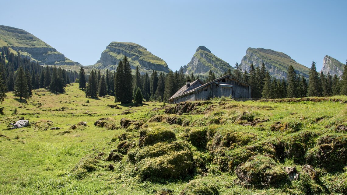
Hike along the Churfirsten and admire the majestic mountain range. After starting at Alp Sellamatt, follow the easy path to Zinggen and then turn right onto the road towards Thurtalerstofel. After a few hundred metres you already leave the road again and follow the hiking trail that leads across the meadows directly after the clubhouse of the SAC Uzwil. Throughout the entire route over the open Alpine meadows of Alp Sellamatt, past the Lochhütte and up to Thurtalerstofel you have a unique view of the nearby Churfirsten mountains. As soon as you have reached the Thurtalerstofel, you continue on the forest paths via the Brisizimmer and the Hinterlücheren to the Zinggen, which you already passed at the beginning of the hike. From there you follow the path over the Gerstenboden to the Iltios. Here you will be able to enjoy the local cuisine with traditional dishes in the mountain restaurant and once again enjoy a phenomenal view of the seven peaks.
Facts
| Start | Alp Sellamatt |
| Destination | Iltios |
| Hiking time | 2.5 hours |
| Length | 5.8 km |
| Elevation | 340 m |
| Difficulty level | easy (T1) |
| Amenities | Iltios Mountain Restaurant |
| Highlight | A constantly changing view of the mountain range |
Price
Churfirsten Ticket
Ascent and descent on the lower section
Adults with Half-fare /GA Travelcard
CHF 14.50
Adults
CHF 29.–
The Forest Trail

After taking the gondola chairlift from Alt St. Johann to Alp Sellamatt, follow the hiking trail to Underruestel. On this section you have a perfect view of the Churfirsten and the long ridge of the Chäserrugg. Now the route leads you with a slight incline towards Schwiloch through the shadowy forest. Nature surrounds you here with natural silence and especially in summer this hike is very enjoyable even on hot days. After a short, slightly steeper ascent, you arrive at the Stöfeli mountain inn, where a breathtaking panorama of the Alpstein and the valleys unfolds before you. At the same altitude is the middle station of the Stöfeli cable car, designed and planned by Herzog & de Meuron.
After a break, you hike down over the Surenboden towards Iltios. Along the way you pass typical alps and always have an impressive panorama in front of you. The destination, the mountain restaurant Iltios, is soon in sight during the last passage and awaits you with its sun terrace and local dishes. From here, the traditional funicular takes you to Unterwasser.
Facts
| Start | Alp Sellamatt |
| Destination | Iltios |
| Hiking time | 2 hours |
| Length | 5.2 km |
| Elevation | 290 m |
| Difficulty level | easy (T1) |
| Amenities | Iltios Mountain Restaurant |
| Highlight | Middle Station Stöfeli Cable Car by Herzog & de Meuron |
Price
Churfirsten Ticket
Ascent and descent on the lower section
Adults with Half-fare /GA Travelcard
CHF 14.50
Adults
CHF 29.–

